DISCLAIMER
Census 2020: What State and Local governments need to Know2020 Boundaries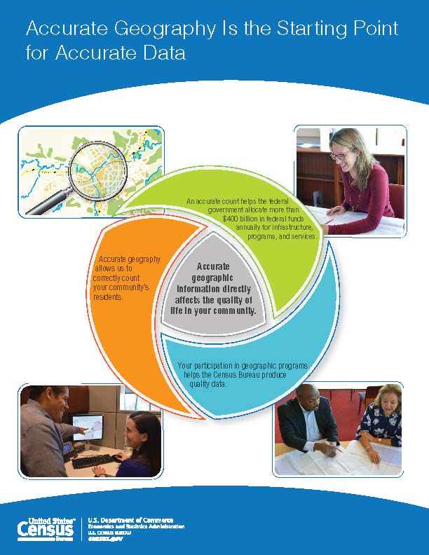
The Geographic Areas Reference Manual gives a comprehensive overview of geographic concepts the Census Bureau used in the past. The 2010 Geographic Terms and Concepts has details about the 2010 terms and concepts. The same concepts will be used for Census 2020, but some of the detailed definitions are not yet filled in and there will be opportunities for local, state governments and the public to comment and work on filling in those details. In the subsections of the 2020 Boundaries section of this web site is more information about these procedures, organized by type of geography. A central place within these concepts is the hierarchy of Geographic entities shown below. The lines indicate that some geographic entities are wholly contained within a higher level entity. Hierarchy of Census Geographic Entities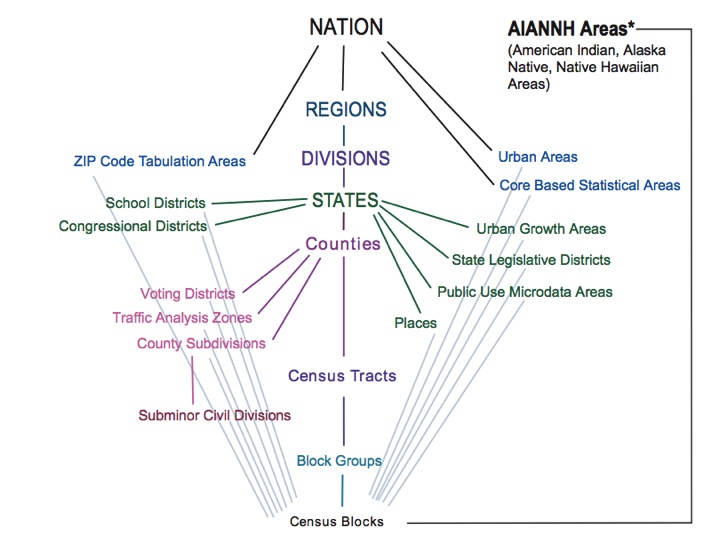
Statistical and legal bounderiesAn important distinction in the geographic concept is whether the concept represents a legal/administrative entity or is a concept for statistical purposes. The Census Bureau developed these statistical concepts in response to the programmatic or analytical needs of data users. The type of operation for establishing the 2020 boundaries depends very much on whether the concept is a legal/administrative entity or a statistical one. Participation of local governments is very important for an accurate geography. Dependency on Census 2020 countsSome of the boundaries are drawn in operations after the Census as the boundaries depend on the counts. Legislative districts are an obvious example of geographic areas that depend on population counts, but urban/rural areas and micro/metropolitan areas have definitions that include census counts and can only be drawn after the census is completed. Last modified: February 2, 2018 |